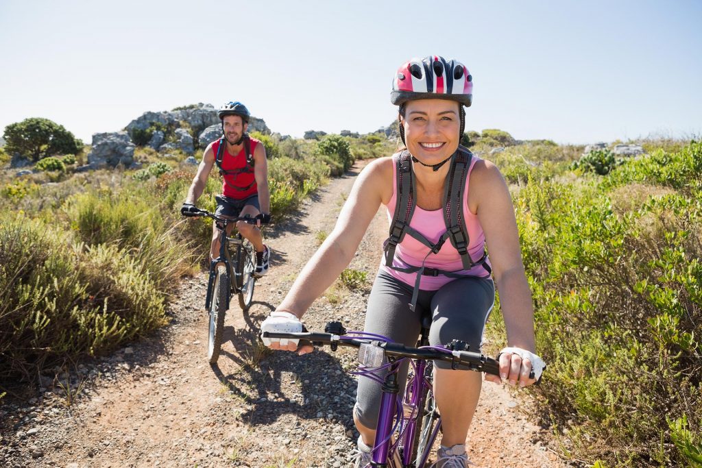
Cycling
Cycling Trpanj
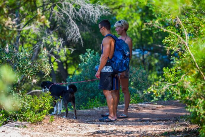
Explore the untouched nature, take a breath of fresh sea air and take in the beautiful mediterannean sights filled with olive trees, pines and various medicinal herbs. Become one with nature on one of the many cycling roads around Trpanj and its surroundings. The cycling track begins from camp Vrilo, where a 6km walking and cycling track leads to Veliko Prapratno. You can see the centuries old olive groves and drywall while also witnessing new groves sprouting up. There are info panels with a detailed track listing and stone benches for rest at every intersection. Coupled with the many viewpoints dotting the track you can enjoy the mesh of stone, olives and sea.
Cycling and Walking Trail “Ćiro”
Cycling in Konavle
Cavtat-Močići-Čilipi
Route length: 9.5 km. Cycling time: 1 hour. Total uphill slope: 230 m. Lowest point on the route: 2 m. Highest point on the route: 185 m. Information about the route: one-way route, combination of asphalt and gravel surface. The route is marked with bicycling signalisation. The route is favourable for trekking and mountain bikes. Route starting point: Cavtat (bus station).
Route details: Cavtat-Močići-Čilipi
Cavtat-Zvekovica-Miljasi
Route length: 26 km. Cycling time: 2.5 hours. Total uphill slope: 438 m. Lowest point on the route: 2 m. Highest point on the route: 220 m. Information about the route: circular route, combination of asphalt and gravel surface. The route is marked with bicycling signalisation. The route is favourable for trekking and mountain bikes. Route starting point: Cavtat (bus station).
Route details: Cavtat-Zvekovica-Miljasi
Čilipi–Gruda–Ljuta–Pridvorje
Route length: 25 km. Cycling time: 2 hours. Total uphill slope: 270 m. Lowest point on the route: 60 m. Highest point on the route: 188 m. Information about the route: circular route, combination of asphalt and gravel surface. The route is marked with bicycling signalisation. The route is favourable for trekking and mountain bikes. Route starting point: Čilipi (main square).
Route details: Čilipi-Gruda-Ljuta-Pridvorje
Cycling in Lastovo
Cycling is the ideal meas of transportation for tourists wishing to establish a direct contact with the island. Asphalt roads with light traffic, forest roads and walkways lead trough a picturesque landscape rich with ethnography to the most interesting parts of the island. Here are some bicycle routes that we suggest:
UBLI – LASTOVO; asphalt; 9,45 km, difficulty: 3/5
LASTOVO-PORTORUS; asphalt; 7,25 km,difficulty 3/5
PASADUR – UBLI-PASADUR; asphalt/makadam; 9,7 km,difficulty 2/5
PASADUR – UBLI; asphalt; 2,81 kn, difficulty 2/5
UBLI-HOM; asphalt/makadam; 5,5 km, difficulty 5/5
LASTOVO-ZACE; asphalt/makadam; 5,05 km, difficulty 2/5
LASTOVO-BARJE; asphalt, 4,9 km, difficulty 2/5
LASTOVO-LASTOVO; asphalt/makadam, 12,8 km, difficulty 4/5
ZAKLOPATICA -LASTOVO; asphalt; 2,19 km,difficulty 4/5
LASTOVO-LUČICA; asphalt; 0,71 km; difficulty 5/5
source: Tourist- Mountaineering Guidebook by CMRS
Cycling in Mljet
From the macadam field trials ideal for mountain bikes to the asphalted roads for family sightseeing, cycling on Mljet offers huge variety of ideal trails for everyone’s taste.
http://www.takeadventure.com/index.php?option=com_content&view=article&id=335&Itemid=40
As part of the development of Outdoor Pelješac, an interactive map of mountain biking and hiking routes on Pelješac was made. There are currently five circular mountain bike and six hiking routes on the map.
On the map you can see information about the weight of the route, the type of surface, description, photos and you can download the GPX track that can be used in various mobile applications and smartwatches. There is also a link to the OsmAnd mobile app on the map. The app is free to download and works offline too.
- Cycling Trpanj
-
Cycling Trpanj
Explore the untouched nature, take a breath of fresh sea air and take in the beautiful mediterannean sights filled with olive trees, pines and various medicinal herbs. Become one with nature on one of the many cycling roads around Trpanj and its surroundings. The cycling track begins from camp Vrilo, where a 6km walking and cycling track leads to Veliko Prapratno. You can see the centuries old olive groves and drywall while also witnessing new groves sprouting up. There are info panels with a detailed track listing and stone benches for rest at every intersection. Coupled with the many viewpoints dotting the track you can enjoy the mesh of stone, olives and sea.
- Cycling and Walking Trail Ćiro
-
Cycling and Walking Trail “Ćiro”
- Cycling in Konavle
-
Cycling in Konavle
Cavtat-Močići-Čilipi
Route length: 9.5 km. Cycling time: 1 hour. Total uphill slope: 230 m. Lowest point on the route: 2 m. Highest point on the route: 185 m. Information about the route: one-way route, combination of asphalt and gravel surface. The route is marked with bicycling signalisation. The route is favourable for trekking and mountain bikes. Route starting point: Cavtat (bus station).
Route details: Cavtat-Močići-Čilipi
Cavtat-Zvekovica-Miljasi
Route length: 26 km. Cycling time: 2.5 hours. Total uphill slope: 438 m. Lowest point on the route: 2 m. Highest point on the route: 220 m. Information about the route: circular route, combination of asphalt and gravel surface. The route is marked with bicycling signalisation. The route is favourable for trekking and mountain bikes. Route starting point: Cavtat (bus station).
Route details: Cavtat-Zvekovica-Miljasi
Čilipi–Gruda–Ljuta–Pridvorje
Route length: 25 km. Cycling time: 2 hours. Total uphill slope: 270 m. Lowest point on the route: 60 m. Highest point on the route: 188 m. Information about the route: circular route, combination of asphalt and gravel surface. The route is marked with bicycling signalisation. The route is favourable for trekking and mountain bikes. Route starting point: Čilipi (main square).
Route details: Čilipi-Gruda-Ljuta-Pridvorje
- Cycling in Lastovo
-
Cycling in Lastovo
Cycling is the ideal meas of transportation for tourists wishing to establish a direct contact with the island. Asphalt roads with light traffic, forest roads and walkways lead trough a picturesque landscape rich with ethnography to the most interesting parts of the island. Here are some bicycle routes that we suggest:
UBLI – LASTOVO; asphalt; 9,45 km, difficulty: 3/5
LASTOVO-PORTORUS; asphalt; 7,25 km,difficulty 3/5
PASADUR – UBLI-PASADUR; asphalt/makadam; 9,7 km,difficulty 2/5
PASADUR – UBLI; asphalt; 2,81 kn, difficulty 2/5
UBLI-HOM; asphalt/makadam; 5,5 km, difficulty 5/5
LASTOVO-ZACE; asphalt/makadam; 5,05 km, difficulty 2/5
LASTOVO-BARJE; asphalt, 4,9 km, difficulty 2/5
LASTOVO-LASTOVO; asphalt/makadam, 12,8 km, difficulty 4/5
ZAKLOPATICA -LASTOVO; asphalt; 2,19 km,difficulty 4/5
LASTOVO-LUČICA; asphalt; 0,71 km; difficulty 5/5
source: Tourist- Mountaineering Guidebook by CMRS
- Cycling in Mljet
-
Cycling in Mljet
From the macadam field trials ideal for mountain bikes to the asphalted roads for family sightseeing, cycling on Mljet offers huge variety of ideal trails for everyone’s taste.
http://www.takeadventure.com/index.php?option=com_content&view=article&id=335&Itemid=40
- Pelješac Cycling and Walking Trails
-
As part of the development of Outdoor Pelješac, an interactive map of mountain biking and hiking routes on Pelješac was made. There are currently five circular mountain bike and six hiking routes on the map.
On the map you can see information about the weight of the route, the type of surface, description, photos and you can download the GPX track that can be used in various mobile applications and smartwatches. There is also a link to the OsmAnd mobile app on the map. The app is free to download and works offline too.
Explore more activities
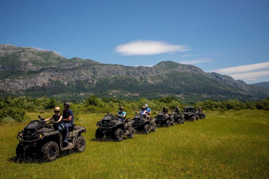
ATV Quad safari
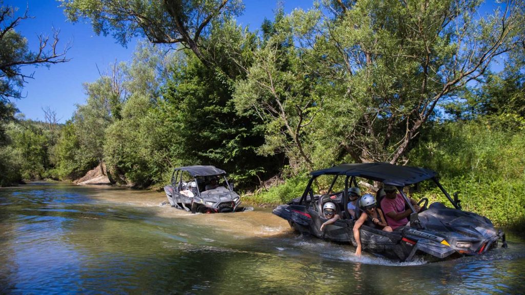
Buggy safari
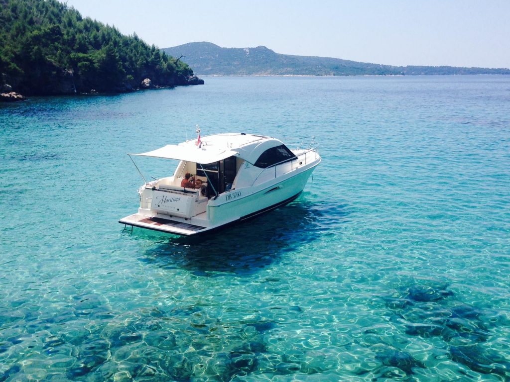
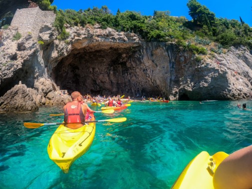
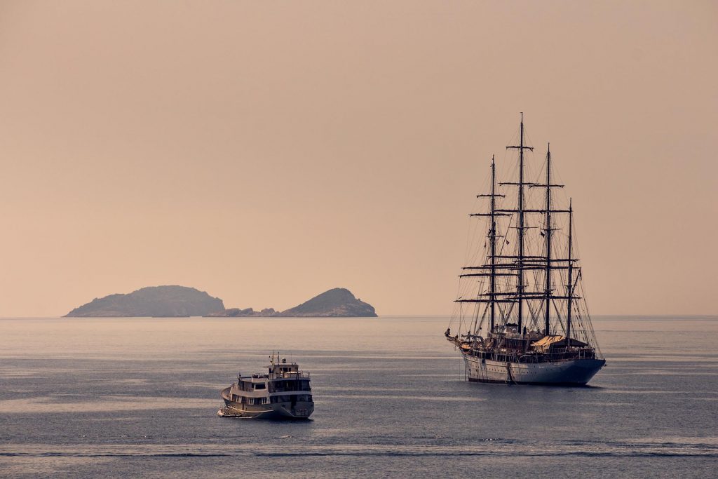
Coastal Tourism
Cycling
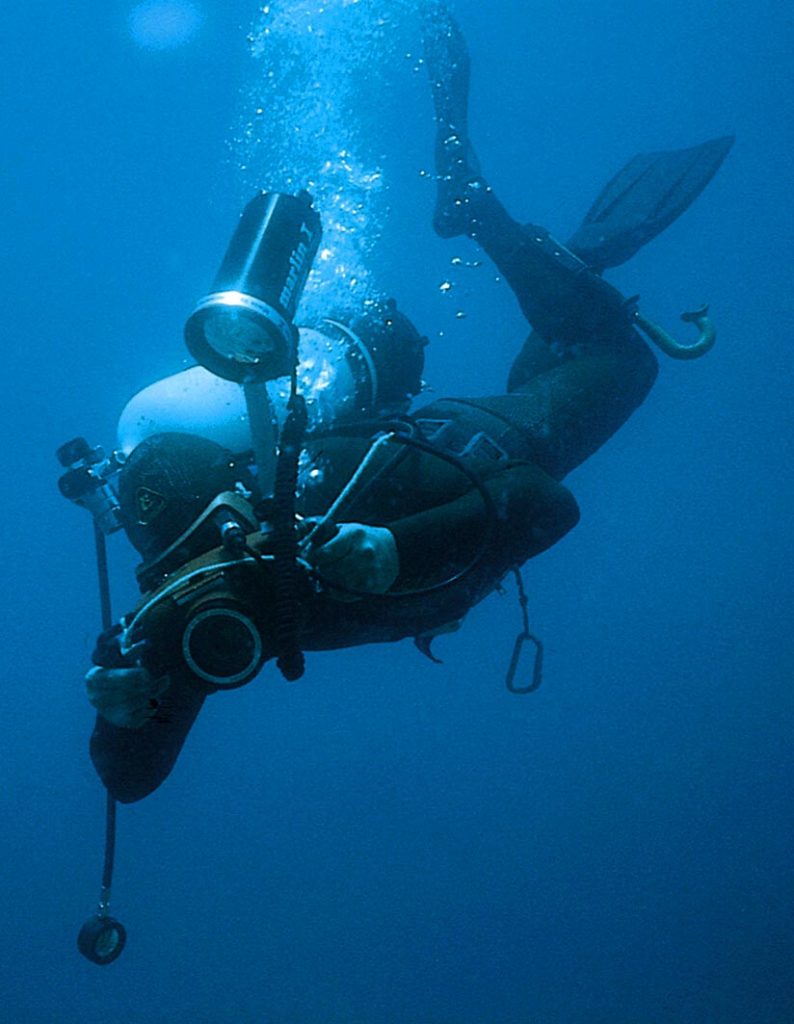
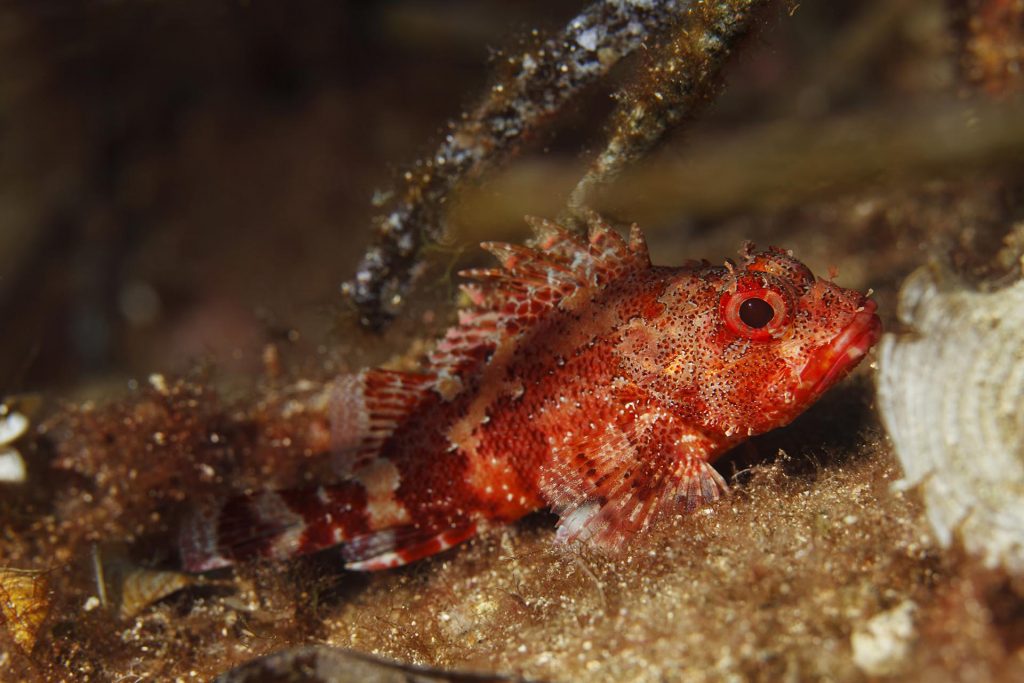
Diving
Excursions
Fishing
Hiking
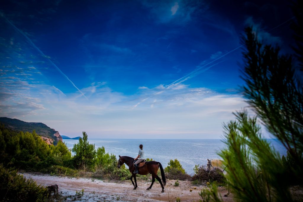
Horseback Riding